
Fishkill Neighbors Block Sources
Immediate Fishkill neighbors are best understood as nearby legal parcels and civic geography. ParcelAccess identifies a parcel and the tax-roll information connected with it. A County Clerk deed adds the recorded ownership sequence and legal description. A Town or Village permit file can supply dated work-history material where it is public. Voter information is governed by election law and is not a block census. Historic directories and newspapers can add a dated reference, but they must be read as historical sources. Each source has a narrower role than an all-purpose neighbor list.
| Source | What It Shows About a Block | Access |
|---|---|---|
| ParcelAccess map | Adjacent parcel geometry, legal municipality, owner and mailing fields, land use, assessment, and deed bridge | Online map with search, click, and nearby-parcel tools |
| County tax map and roll | Parcel lines, property location and class, assessment, exemption fields, and taxable value | County PDF or GIS and assessor or Real Property Tax Service channels |
| County Clerk deeds | Ownership sequence and legal description for each parcel | Current or historical index and public images where available |
| Town or Village permit file | Public address work history and application or inspection context | File search, office contact, or FOIL |
| Voter lookup or file | Allowed registration information and polling geography | Individual lookup or restricted bulk request with an elections purpose |
| Directories and newspapers | Older names, businesses, notices, and community references along a street | Blodgett, DCHS, digitized scans, or microfilm |
| County zoning viewer | General Fishkill or Fishkill Village zoning context and municipality choices | County GIS overview, not a detailed code search |
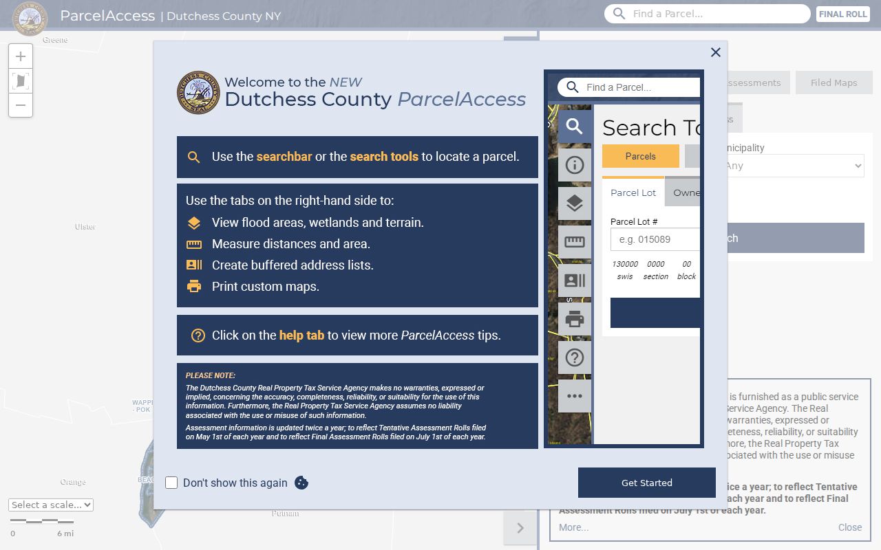
Begin with the Dutchess County ParcelAccess search, which supports address, owner-name, and parcel-lot modes and links a parcel to its municipality and deed book or page.
The parcel search is a starting point, not proof of every person connected with an address. A public tax roll can show an assessed owner, while other household members may not appear in that record at all.
Fishkill Neighbor Parcel Process
ParcelAccess has a practical adjacent-parcel method for a Fishkill address. Its address search accepts number, predirectional, street, postdirectional, suffix, and municipality. After selecting the subject parcel, use map pan and click for surrounding parcels, or use the List Nearby Parcels geometry tool. The research notes that the geometry tool is desktop, not mobile. The card offers a stable way to record the legal parcel before a name, mailing field, or deed reference is compared.
- Enter the known address in ParcelAccess, choose the correct Fishkill municipality, and confirm the subject parcel instead of relying only on the postal label.
- Open the selected parcel card and preserve its parcel number, parcel location, municipality, owner field, primary owner mailing address, and deed information book or page.
- Pan or use List Nearby Parcels to select each bordering or nearby parcel. Record each as a separate legal parcel, not as a presumed household.
- Use the card's deed reference to compare a recorded description in the County Clerk index. Keep the current parcel and nearby parcels distinct in the notes.
- Use the print and highlight controls only to retain private research context. Do not publish personal values from a parcel card.
The selected-parcel ParcelAccess view shows the kind of parcel card and surrounding context used for this method.
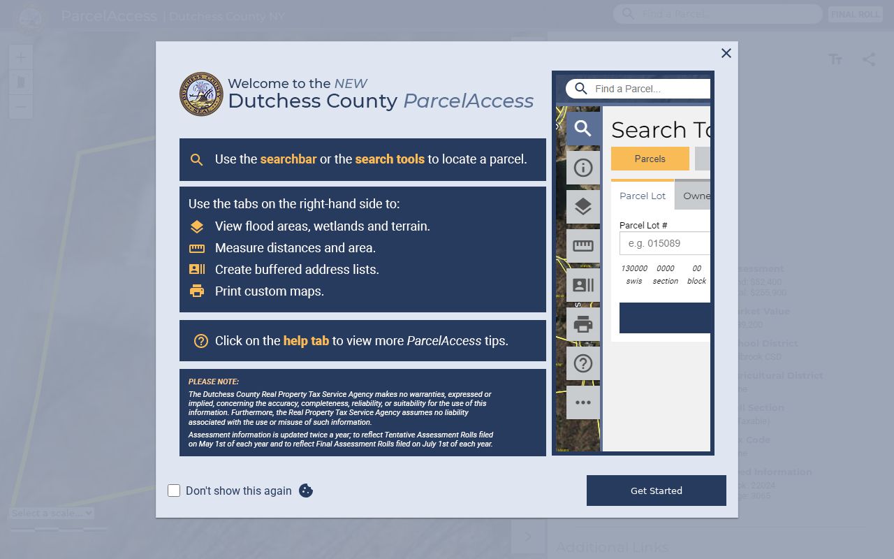
The nearby tool describes legal parcels, not all nearby people. For a broader named-street record chain, the Fishkill street directory follows address-keyed records beyond the immediate block.
Fishkill Neighbor Mailing Clues
ParcelAccess deliberately separates the parcel location, sometimes called the situs, from the primary owner mailing address. The situs is where the land is located. The mailing field is where tax correspondence is sent. Those may be the same, but the record does not guarantee it. Treat them as two different keys. A legal municipality is a third key, and a deed's legal description or subdivision reference can be another. Keeping those labels separate prevents a mailing address from becoming an unsupported claim about where someone lives.
- Parcel
- A defined piece of land identified by the county's parcel system. It is the unit that the map and assessment record describe.
- Situs
- The physical parcel location. It can differ from an owner's correspondence address.
- Primary owner mailing address
- The address used for property correspondence. It is a lead for the owner record, not a statement about everyone at the parcel.
- Legal municipality
- The Town or Village designation attached to the parcel record, which can differ from a postal-city label.
Ownership in ParcelAccess is tied to the March 1 taxable-status date. A more recent transfer may require a County Clerk recording search and an assessor or Real Property Tax Service check. That lag is a timing issue, not evidence that either record is inaccurate.
Fishkill Neighbor Deed Checks
A deed can test whether nearby Fishkill parcels are actually connected in the way the map suggests. Start from the parcel card's deed book or page, then search the current County Clerk Document Search by municipality, document type, party role, and date. Read the legal description, earlier deed reference, and named parties in context. Metes-and-bounds calls, subdivision lots, and references to neighboring owners may explain a boundary more reliably than a street label.
The current index covers computerized deeds from 1989 forward. For older names, the historical search reaches 1718 through 1989 and uses municipality group, party type, document type, surname letter range, index page, name page, and Liber or Page image. Official pages give two different early-deed image dates, so verify the exact image cutoff with the County Clerk Record Room before relying on an early online image. Mortgage, lien, judgment, or tax-sale entries are context, not a conclusion about an outcome.
Fishkill Neighbor Voter Geography
New York voter records provide an individual registration and civic-geography lead, not a public list of all Fishkill neighbors. Election Law allows public registration information under Board of Elections supervision, subject to redactions and confidentiality. Public fields can include name, residence or mailing address, party enrollment, registration or status, and district or precinct identifiers where public. Ballot choices, Social Security numbers, driver-license or nondriver ID numbers, facsimile material, and confidential-registration information are not available through the ordinary public record.
A request for the voter file under Board of Elections FOIL guidance must state an elections purpose. Dutchess Board of Elections maintains the local registration database and is the correction or question channel. An inactive status does not, by itself, show that someone has moved. Confidential registration and Address Confidentiality Program participation can also keep a lawful registration record out of public view at the actual address.
Fishkill Neighbor Civic Geography
Civic places can help orient a block without becoming a membership list. The official Town resident-resources material names the Chelsea, Dutchess Junction, Fishkill Protection Engine Co. 1, Rombout, and Glenham fire districts. Dutchess election pages identify polling-place geography. These resources describe service or voting locations, not the people who belong to a group. No official neighborhood-association or HOA umbrella directory, and no public membership directory, was located for Town of Fishkill.
| Office or civic source | Useful block context | Contact or access |
|---|---|---|
| Town of Fishkill Clerk | Town records, municipal file questions, and Town FOIL routing | 807 Route 52; 845-831-7800 |
| Dutchess Board of Elections | Voter registration administration and polling-place information | 112 Delafield Street, Poughkeepsie; 845-486-2473 |
| Blodgett Memorial Library Local History Room | Historic directories, newspapers, clippings, and local research help | Appointments preferred; 37 Broad Street; 845-896-9215 |
| Town fire-district listings | Civic and service geography only | Town resident-resources information |
The Dutchess Board of Elections Fishkill polling-place page is an official civic-geography source.
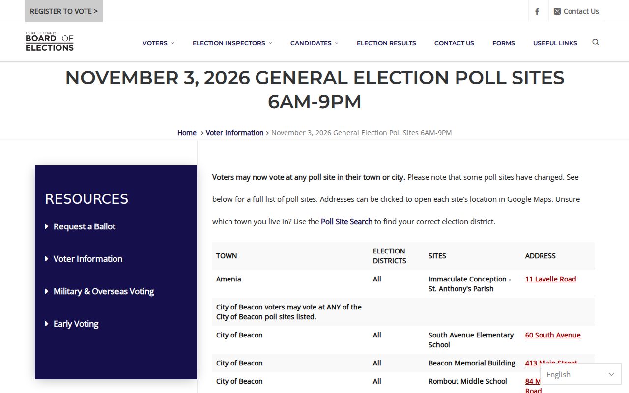
Fishkill voters may use any Fishkill poll site according to the 2026 county page. That information helps identify civic facilities; it does not identify everyone near a facility or establish group membership.
Official and Commercial Neighbor Sources
Official and commercial sources serve different purposes. An official parcel card has a defined custodian, fields, and update rule. A deed image has a recorded date and legal context. Commercial neighbor products may combine address-history fragments and public records, but can carry old or conflated names. Neither category supplies a complete list of people around a block.
| Official record path | Commercial neighbor category |
|---|---|
| Parcel, deed, voter, permit, and civic sources identify the custodian and the type of record. | Compiled profiles can blend public fragments, marketing data, and stale address history. |
| Access limits can explain missing or redacted information. | Compilation does not overcome confidential registration, ACP protection, or restricted DMV and utility data. |
| Fields can be checked with the clerk, assessor, or Board of Elections. | A similar-name match or old address should be checked against an official source. |
For an old block question, Blodgett's newspaper and directory holdings can provide a dated lead. Confirm it with a parcel, deed, probate, or original issue rather than treating an undated compiled entry as current fact.
Fishkill Neighbor Privacy Limits
Fishkill neighbor research has clear boundaries. A parcel owner can live elsewhere. A voter may be registered at a mailing address, inactive, or confidential. Protected registrations, Address Confidentiality Program records, court restrictions, and statutory redactions can remove a person from an expected result. Utility customer and DMV address data are not public substitutes. A permit may show public project context, but it does not verify the current people at an address.
Lawful use. Use parcel and civic records for personal, lawful research. Do not use names, addresses, or public records to stalk, threaten, harass, or intimidate another person.
Note: An adjacent parcel is a legal relationship on the map, not proof of a personal relationship between people.
Fishkill Neighbors Roster Gap
No verified official neighborhood or HOA membership roster was found for the Town. That gap is meaningful. Fire districts, historic churches, the library, and polling facilities are visible community layers, but none should be described as a public directory of members. The proper follow-up is contact with the relevant office or organization, or historical research through Blodgett and Dutchess County Historical Society materials, not an assumption based on a nearby parcel.